Terra and Aqua satellites captured the floods over northeastern Sudan.
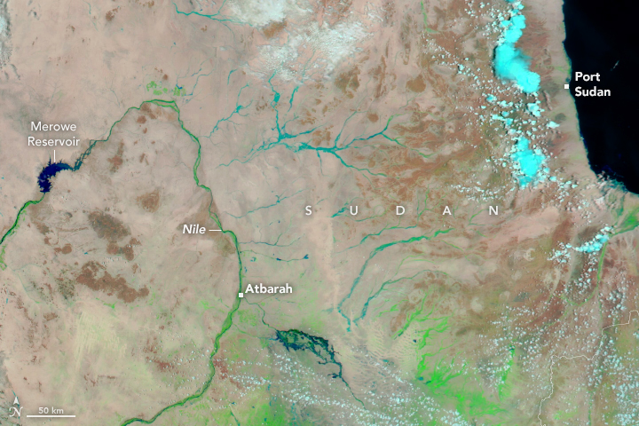
Torrential rains in the Red Sea State, northeastern Sudan, caused floods that overwhelmed the Arbaat Dam, which is 40km north of Port Sudan, the de facto national capital and base for the government, diplomats, aid agencies and hundreds of thousands of displaced people. This is the heaviest rainfall since 2019 in country already hit by civil war and famine. The human-caused climate crisis is making extreme weather more frequent and more severe. Sudan is one of the world’s most climate-vulnerable nations, grappling with deadly rainfall and flooding, as well as devastating droughts. More than 10 million people are already displaced by a year-long civil war between the Sudanese Armed Forces (SAF) and the paramilitary Rapid Support Forces (RSF) that has left at least 18,000 others dead.
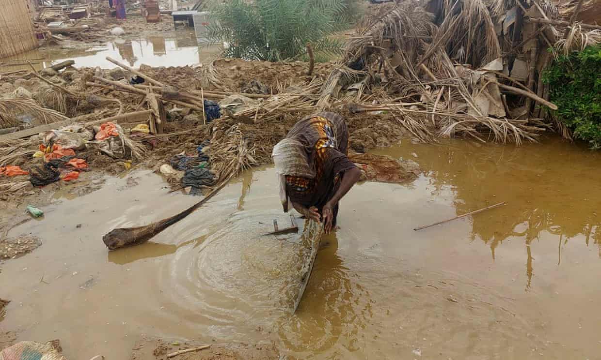
The local scenery on the ground is as follows.
Reference: NASA Earth’s Tweet
See earthview photo gallery: LiVEARTH