Astronaut Takuya Onishi captured from ISS the ice swirls of Labrador Sea, off the east coast of Canada.
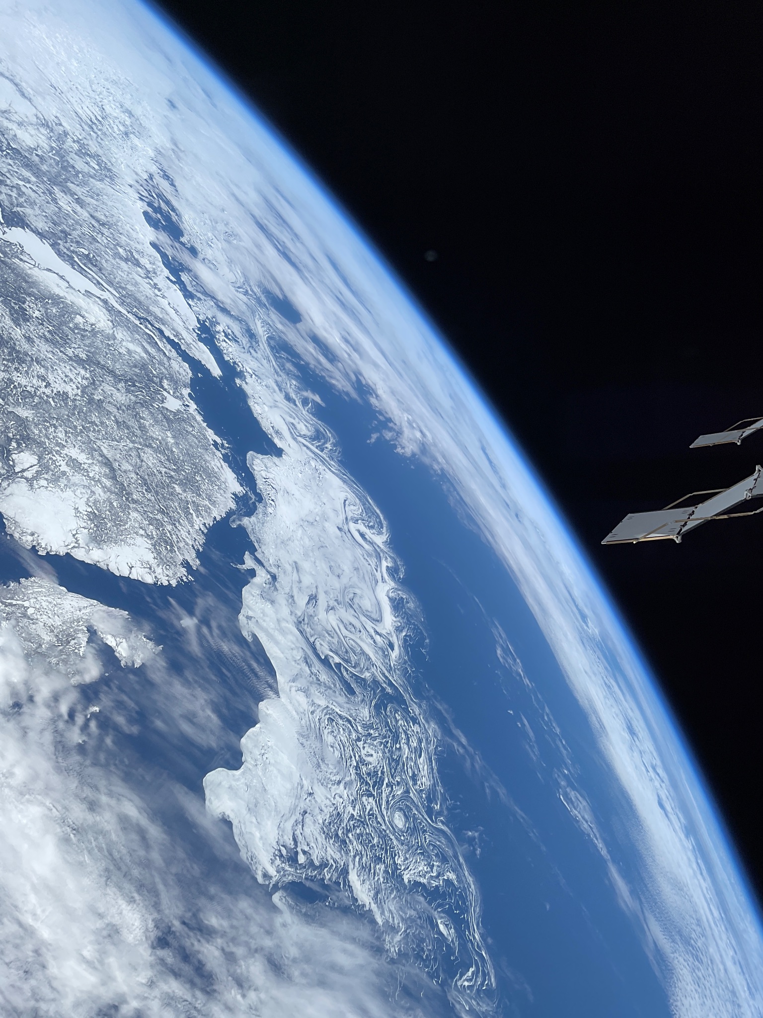
The Labrador Sea is an arm of the North Atlantic Ocean between the Labrador Peninsula and Greenland. The sea is flanked by continental shelves to the southwest, northwest, and northeast. It is a marginal sea of the Atlantic. The sea formed upon separation of the North American Plate and Greenland Plate that started about 60 million years ago and stopped about 40 million years ago. It contains one of the world’s largest turbidity current channel systems, the Northwest Atlantic Mid-Ocean Channel (NAMOC), that runs for thousands of kilometers along the sea bottom toward the Atlantic Ocean. The Labrador Sea is a major source of the North Atlantic Deep Water, a cold water mass that flows at great depth along the western edge of the North Atlantic, spreading out to form the largest identifiable water mass in the World Ocean.
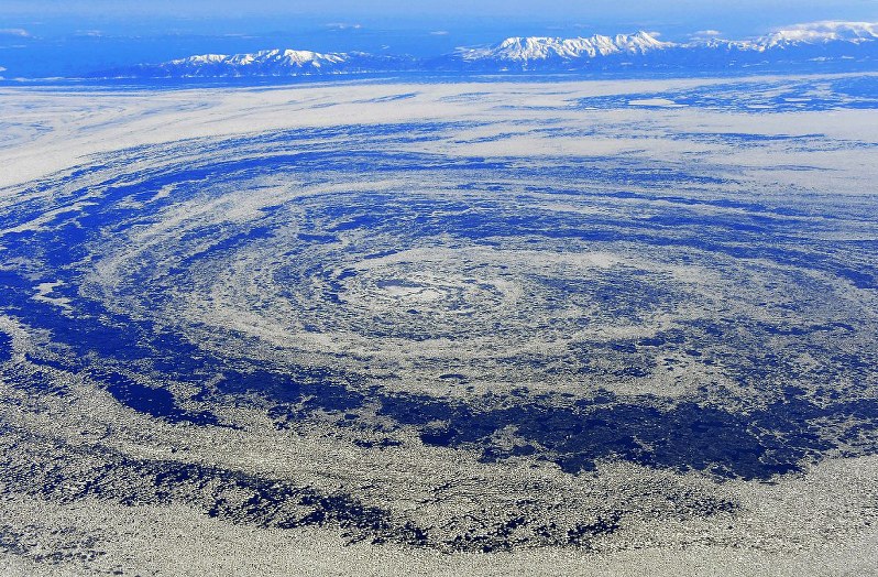
The local scenery on the ground is as follows.
Reference: Takuya Onishi’s Tweet
See earthview photo gallery: LiVEARTH