ESA’s Copernicus Sentinel-3 captured Iceland. Its capital and largest city is Reykjavík.
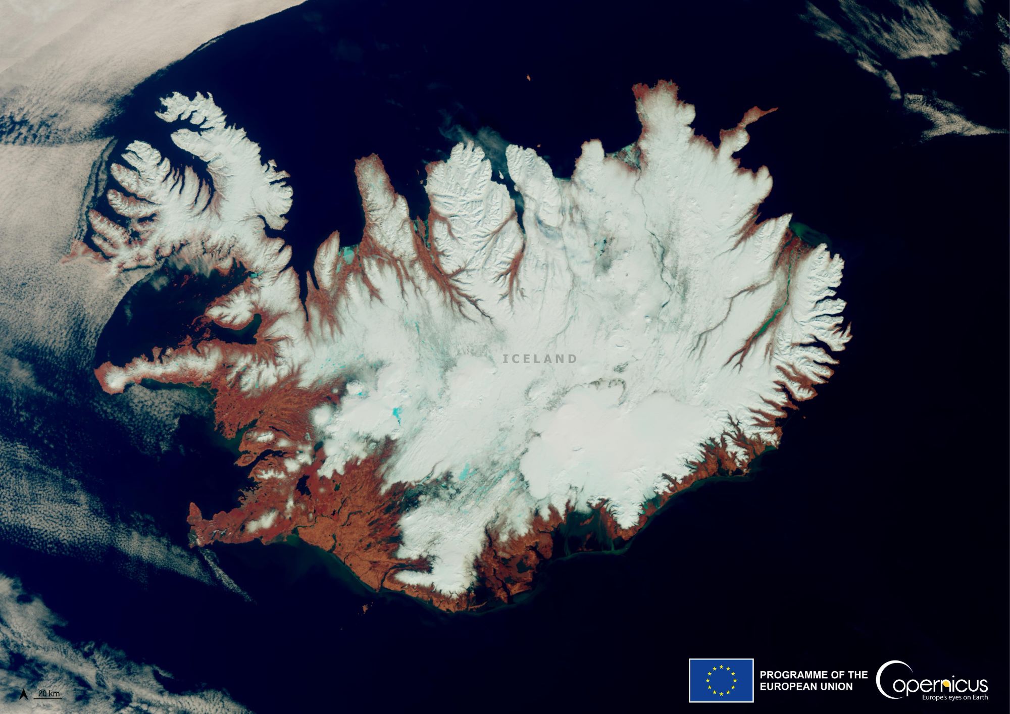
Located on a rift between tectonic plates, Iceland’s geologic activity includes geysers and frequent volcanic eruptions. The interior consists of a volcanic plateau characterized by sand and lava fields, mountains, and glaciers, and many glacial rivers flow to the sea through the lowlands. Iceland is warmed by the Gulf Stream and has a temperate climate, despite a latitude just south of the Arctic Circle. Its high latitude and marine influence keep summers chilly, and most of its islands have a polar climate. According to the ancient manuscript Landnámabók, the settlement of Iceland began in 874AD when the Norwegian chieftain Ingólfr Arnarson became the first permanent settler on the island. In the following centuries, Norwegians, and to a lesser extent other Scandinavians, immigrated to Iceland, bringing with them thralls (i.e., slaves or serfs) of Gaelic origin.
The local scenery on the ground is as follows.

Reference: Copernicus EU’s Tweet
See earthview photo gallery: LiVEARTH