ESA’s Copernicus Sentinel-2 captured the boundary between Amazon rainforest and urban area of Manaus, Brazil.
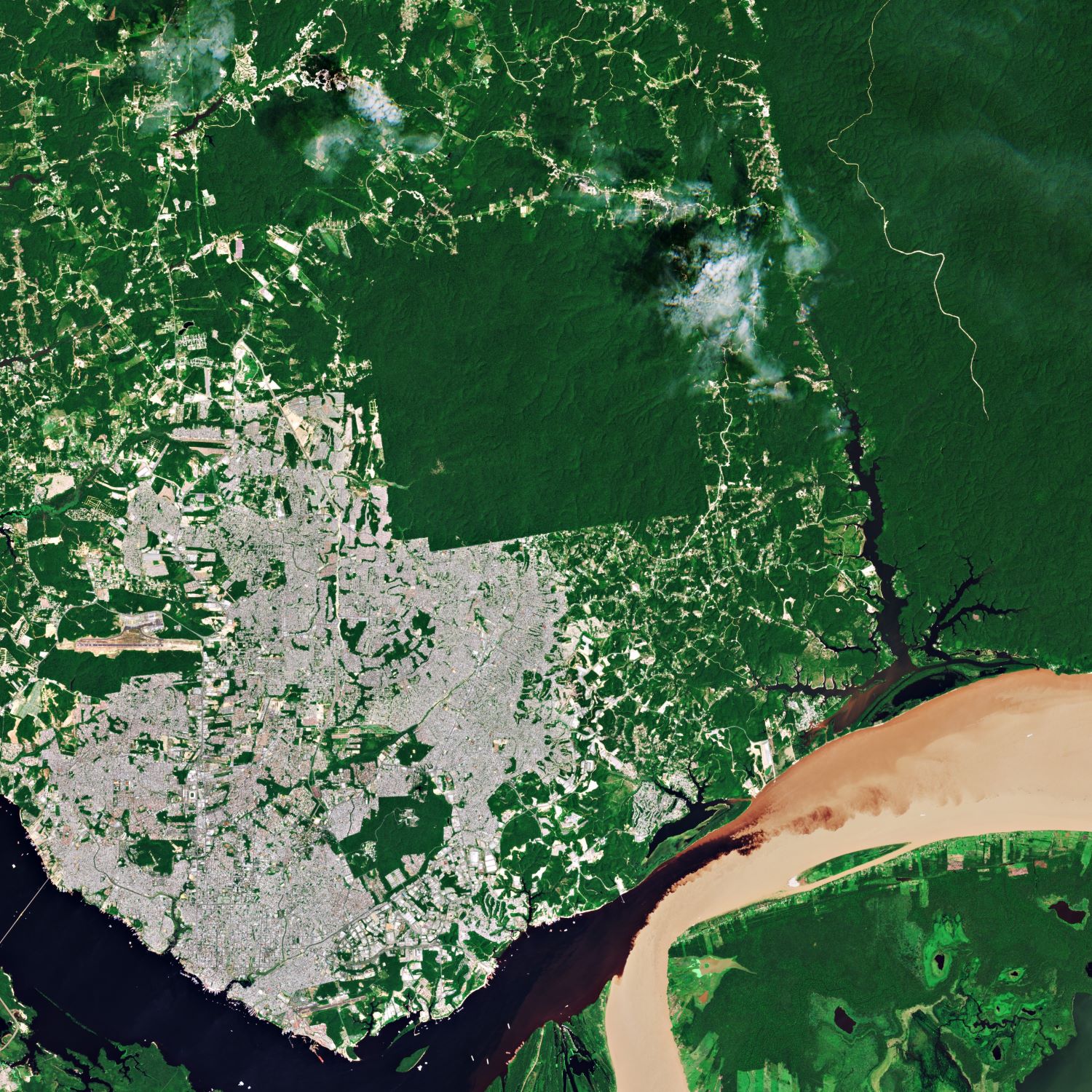
Manaus is the capital and largest city of the Brazilian state of Amazonas, and is located near the confluence of the Negro and Amazon rivers. The city was founded in 1669 as the Fort of São José do Rio Negro. Manaus has a humid tropical rainforest climate (Af) according to the Köppen climate classification system, just wet enough in its driest month to not be a tropical monsoon climate, with the average annual compensated temperature of 27.6C and high air humidity, with a rainfall index around 2,300mm annually. Although the main industry of Manaus through much of the 20th century was rubber, its importance has declined. Given its location, fish, wild fruits like Açaí and Cupuaçu, and Brazil nuts initiate important trades, as do petroleum refining, soap manufacturing, and chemical industries.
(Credit: EU, ESA)
The local scenery on the ground is as follows.
Reference: ESA Earth Observation’s Tweet
See earthview photo gallery: LiVEARTH