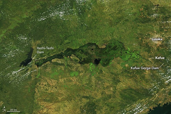
NASA’s Terra satellite captured Lusaka, Zambia.
Zambia is a landlocked country at the crossroads of Central, Southern and East Africa. Originally inhabited by Khoisan peoples, the region was affected by the Bantu expansion of the thirteenth century. Following European explorers in the 18th century, the British colonized the region into the British protectorates of Barotziland–North-Western Rhodesia and North-Eastern Rhodesia towards the end of the 19th century. In 1964, Zambia became independent of the U.K. Zambia contains abundant natural resources, including minerals, wildlife, forestry, freshwater, and arable land. Lusaka is the capital and largest city of Zambia. It is one of the fastest-developing cities in southern Africa. Lusaka is in the southern part of the central plateau at an elevation of about 1,279m. The founding of the modern city occurred in 1905 when it lay in the British protectorate of Northern Rhodesia, which was controlled by the British South African Company (BSAC). The BSAC built a railway linking their mines in the Copperbelt to Cape Town and Lusaka was designated as a water stop on that line, named after a local Lenje chief called Lusaaka.
The local scenery on the ground is as follows.

Reference: NASA Earth’s Tweet
See earthview photo gallery: LiVEARTH