Astronaut Thomas Marshburn captured from ISS the southern terminus of winding Mississippi River near the boundary of Arkansas and Louisiana.
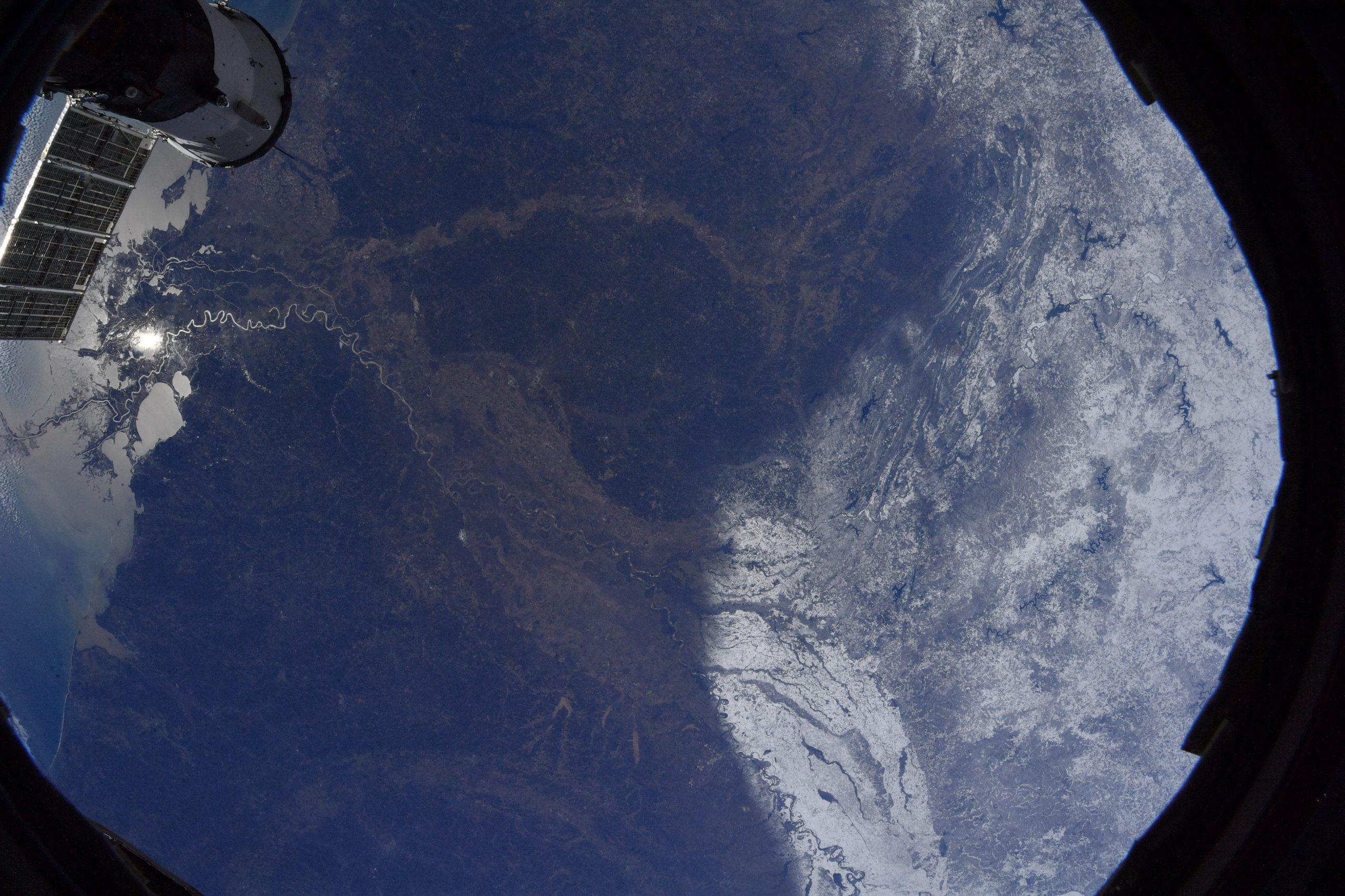
America’s longest Mississippi River’s source is Lake Itasca in northern Minnesota and it flows generally south for 3,779m to the delta in the Gulf of Mexico. Formed from thick layers of the river’s silt deposits, the Mississippi embayment is one of the most fertile regions of the country. The Mississippi River has experienced major pollution and environmental problems – most notably elevated nutrient and chemical levels from agricultural runoff, the primary contributor to the Gulf of Mexico dead zone.
The local scenery on the ground is as follows.

Reference: Thomas Marshburn’s Tweet
See earthview photo gallery: LiVEARTH