Astronaut Sergey Ryazansky captured from ISS Uruguay River in southern Brazil, at the border of Argentina.
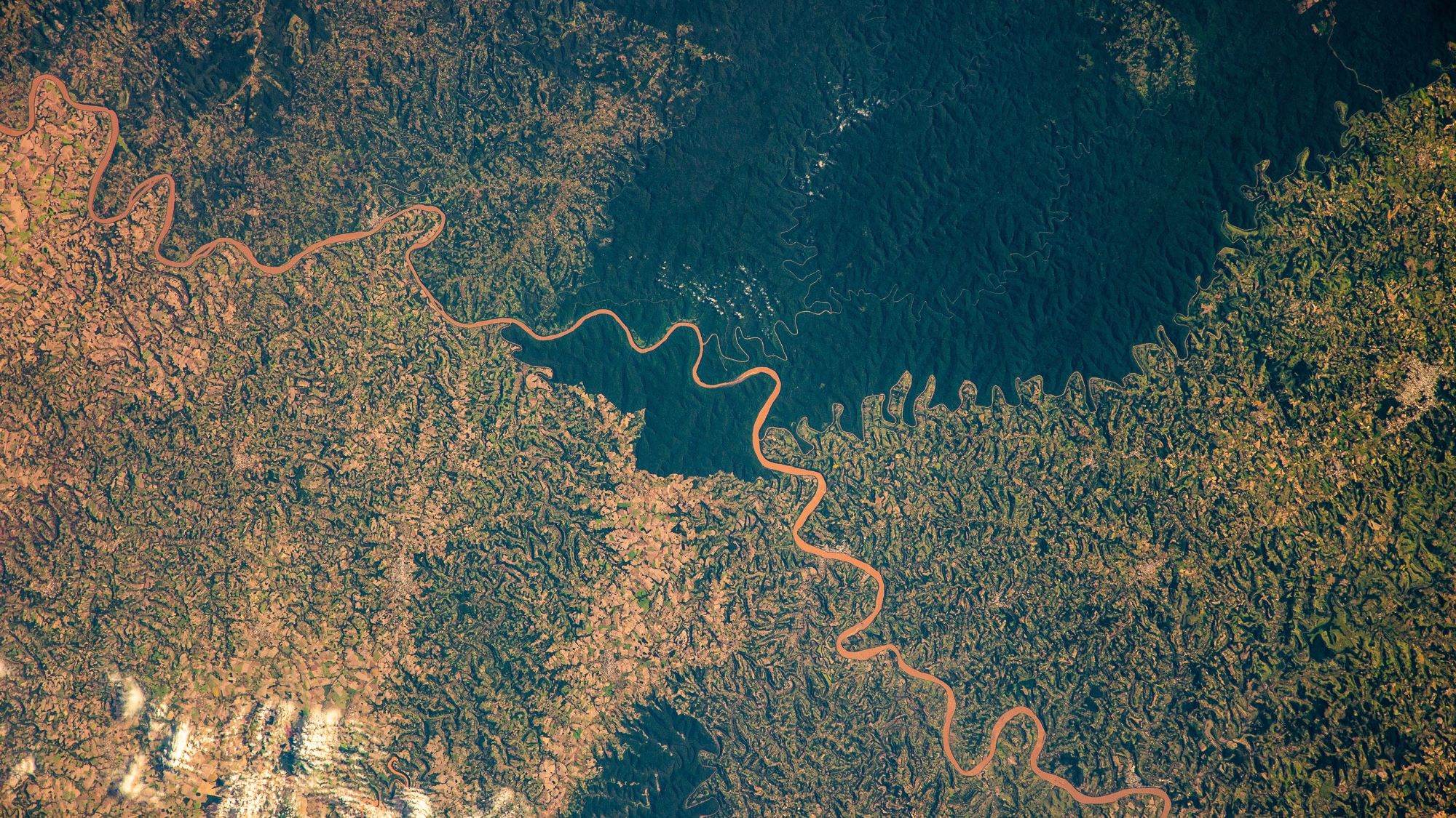
The Uruguay River is a major river in South America. It flows from north to south and forms parts of the boundaries of Brazil, Argentina, and Uruguay, separating some of the Argentine provinces of La Mesopotamia from the other two countries. The river measures 1,838km in length and starts in the Serra do Mar in Brazil, where the Canoas River and the Pelotas River are joined, at about 200m above mean sea level. In this stage the river goes through uneven, broken terrain, forming rapids and falls. Its course through Rio Grande do Sul is not navigable. Together with the Paraná River, the Uruguay forms the Río de la Plata estuary. The drainage basin of the Uruguay River has an area of 365,000km2. Its main economic use is the generation of hydroelectricity and it is dammed in its lower portion by the Salto Grande Dam and by the Itá Dam upstream in Brazil.
The local scenery on the ground is as follows.

Reference: Sergey Ryazansky’s Tweet
See earthview photo gallery: LiVEARTH