Astronaut Soichi Noguchi captured from ISS the Pacific Coast of Peru. Nazca Lines are just off the upper-left corner of this image.
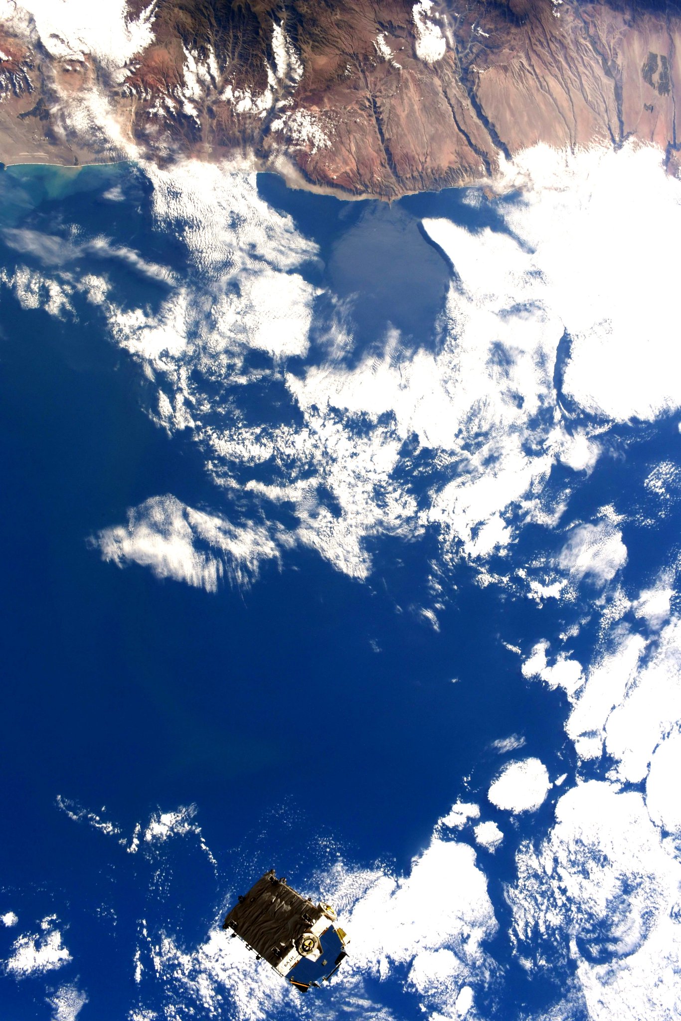
The Andes mountains run parallel to the Pacific Ocean, and define the 3 regions traditionally used to describe the country geographically. The costa (coast), to the west, is a narrow plain, largely arid except for valleys created by seasonal rivers. The sierra (highlands) is the region of the Andes; it includes the Altiplano plateau as well as the highest peak of the country, the 6,768m Huascarán. The third region is the selva (jungle), a wide expanse of flat terrain covered by the Amazon rainforest that extends east. A characteristic of the Peruvian coastal desert is low average temperatures despite its tropical latitudes. In the tropics the average annual temperature is usually at least 25°C with little temperature variation among months. By contrast most of the Peruvian coastal desert has average annual temperatures of less than 20°C and with temperatures falling to or near 10°C during the Austral winter. The relatively low temperatures of the Peruvian coastal desert are caused by the cold Humboldt Current.
The local scenery on the ground is as follows.

Reference: Soichi Noguchi’s Tweet
See earthview photo gallery: LiVEARTH