Astronaut Chris Cassidy captured from ISS Papaloapan River, Mexico.
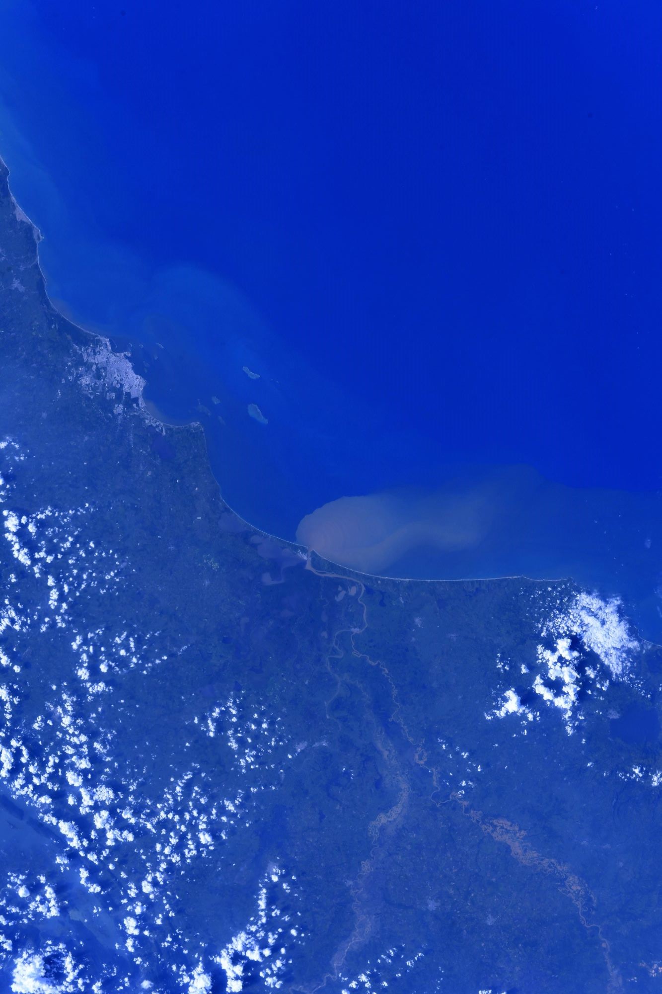
The Papaloapan River is one of the main rivers of the Mexican state of Veracruz. Its name comes from the Nahuatl papaloapan meaning “river of the butterflies”. The Papaloapan rises in the Sierra Madre de Oaxaca on the border between the states of Veracruz and Oaxaca. It meanders for 122km in a northeasterly direction through the coastal plain before draining into Alvarado Lagoon. In the past the Papaloapan river basin was subject to frequent flooding, with the damage sometimes compounded by cyclones. Construction of the Cerro de Oro Dam in 1989 on the Santo Domingo river reduced the extent of floods to a manageable level. The states of Oaxaca and Veracruz are cooperating in developing the river basin. Plans include irrigation to improve agricultural production, promotion of forestry and fish farming and improvements to roads and river navigation.
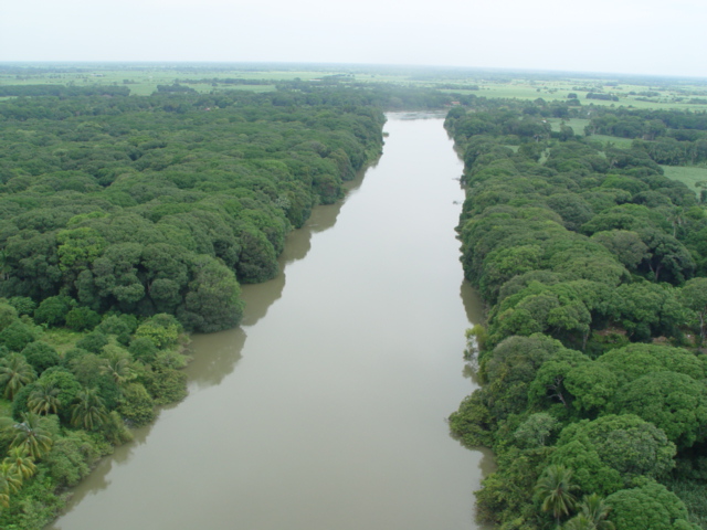
The local scenery on the ground is as follows.
Reference: Chris Cassidy’s Tweet
See earthview photo gallery: LiVEARTH