NASA’s Landsat 9 satellite captured Port Honduras Marine Reserve, Belize.
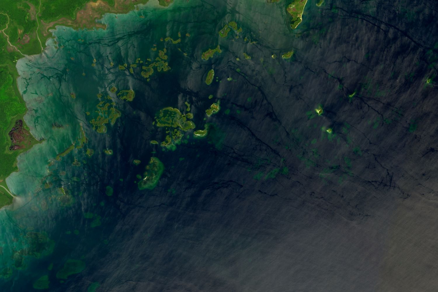
Port Honduras Marine Reserve is a national protected marine reserve in the Toledo district of Belize. It was established in January 2000, and covers 40,470ha of mangrove and coastal ecosystems. It encompasses over one hundred small, mangrove-fringed cayes, benthic habitats comprising soft-bottom seagrass beds and fringing reefs. The reserve is co-managed by the community-based Non Governmental Organization the Toledo Institute for Development and Environment. It is divided into three zones: a general use zone, a preservation zone and a conservation zone.
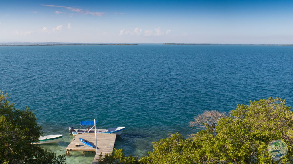
The local scenery on the ground is as follows.
Reference: NASA Earth’s Tweet
See earthview photo gallery: LiVEARTH