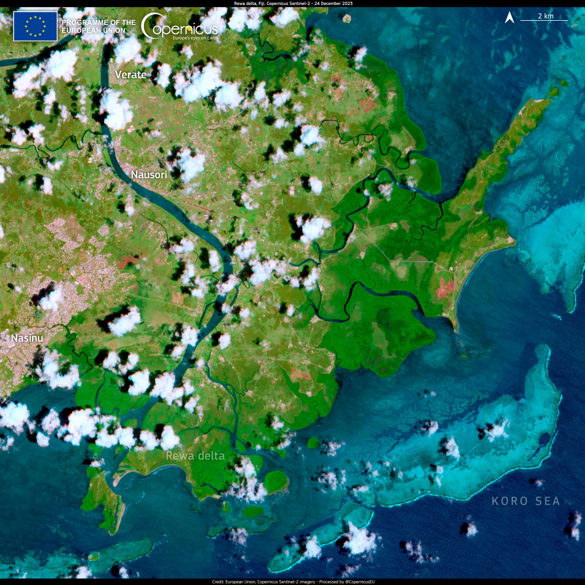
ESA’s Copernicus Sentinel-2 captured the Rewa River Delta, Fiji.

The Rewa River is the longest and widest river in Fiji. Located on the island of Viti Levu, the Rewa originates in Tomanivi, the highest peak in Fiji, and flows southeast for 145km to Laucala Bay, near Suva. The Rewa River is fed by two large tributaries, the Wainibuka and the Wainimala and it is joined by several other rivers of importance before it reaches the sea by a delta of many mouths. It is navigable by small crafts up 80km from its mouth and its basin is enriched by a deep deposit of alluvial soil. The delta of the river is where several Fijian villages are situated.
Fiji is an island country in Melanesia, part of Oceania in the South Pacific Ocean about 2,000km northeast of New Zealand’s North Island. Fiji consists of an archipelago of more than 330 islands of which 110 are permanently inhabited—and more than 500 islets, and the two major islands, Viti Levu and Vanua Levu, account for 87% of the total population of 883,483. About three-quarters of Fijians live on Viti Levu’s coasts, either in Suva or in smaller urban centres such as Nadi—where tourism is the major local industry or Lautoka, where the sugar-cane industry is paramount. Europeans visited Fiji from the 17th century onwards, and, after a brief period as an independent kingdom, the British established the Colony of Fiji in 1874. Fiji operated as a Crown colony until 1970, when it gained independence as the Dominion of Fiji. Fiji has one of the most developed economies in the Pacific thanks to its abundant forest, mineral, and fish resources.
The local scenery on the ground is as follows.

Reference: Copernicus EU’s Tweet
See earthview photo gallery: LiVEARTH