Astronaut Chris Cassidy captured from ISS San Matias Gulf, Argentina.
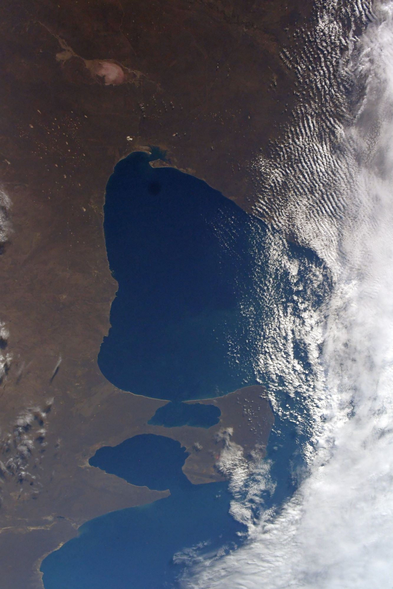
The San Matias Gulf is an inlet of the Atlantic Ocean off the coast of Patagonia, Argentina. It is “one of the largest gulfs in the Patagonia region”. The gulf is surrounded by plateaus and depressions below sea level similar to the gulf itself but that are not flooded by the sea at present. The San Matías Gulf has a history of tectonic origin. Prior to the deglaciation that followed the last glacial period San Matías Gulf was a dry flatland below sea level. As global deglaciation went on after the Last Glacial Maximum sea level rose so that 11,000 years before present sea level surpassed the San Matías sill flooding the whole basin. This sill is currently 60m below sea level. The gulf has been repeatedly dried up and flooded during Quaternary glacial and interglacial periods respectively.
The local scenery on the ground is as follows.

Reference: Chris Cassidy’s Tweet
See earthview photo gallery: LiVEARTH