NASA’s Terra satellite captured the sandstorm in Taklamakan Desert, China.
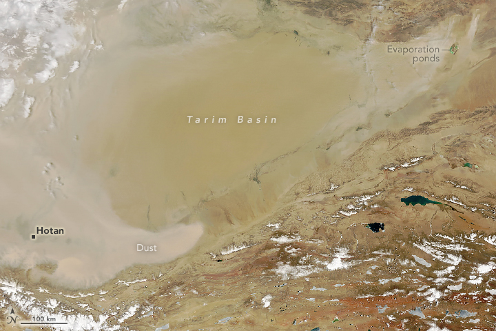
The Taklamakan Desert is a desert in Southwestern Xinjiang in Northwest China. Located inside the Tarim Basin, it is bounded by the Kunlun Mountains to the south, the Pamir Mountains to the west, the Tian Shan range to the north, and the Gobi Desert to the east. In folk etymology, it is said to mean “Place of No Return” or “get in and you’ll never get out”. It is the world’s second-largest shifting sand desert, with about 85% made up of shifting sand dunes, ranking 16th in size in a ranking of the world’s largest deserts. Because it lies in the rain shadow of the Himalayas, Taklamakan has a cold desert climate.
The local scenery on the ground is as follows.

Reference: NASA Earth’s Tweet
See earthview photo gallery: LiVEARTH