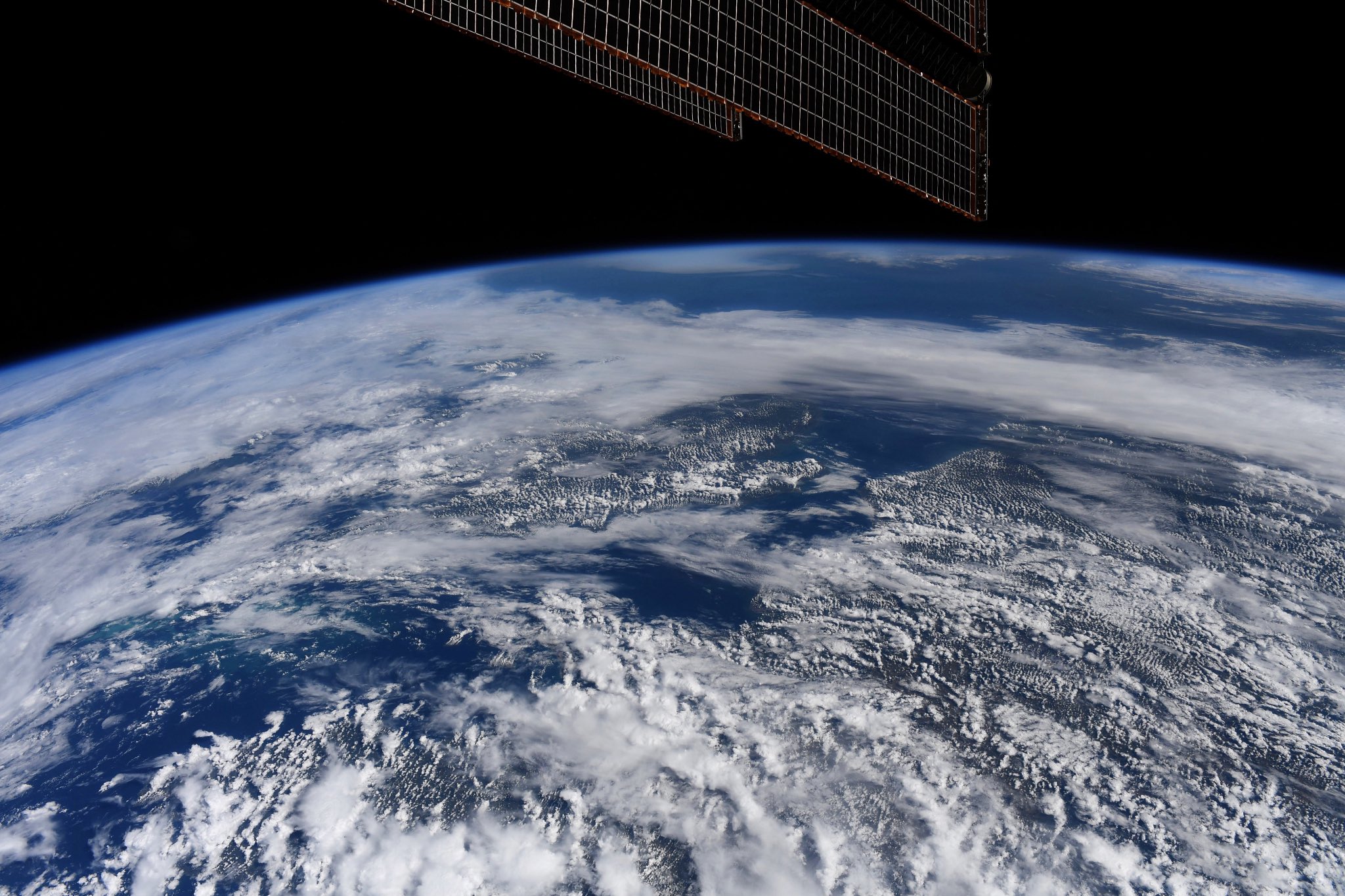
Astronaut Doug Hurley captured from ISS the Strait of Dover (France: Pas de Calais) and U.K., France, Belgium and Netherlands.
The Strait of Dover or Dover Strait, historically known as the Dover Narrows (Pas de Calais), is the strait at the narrowest part of the English Channel, marking the boundary between the Channel and the North Sea, separating Great Britain from continental Europe. The shortest distance across the strait, 33.3km. The entire strait is within the territorial waters of France and the United Kingdom, but a right of transit passage under the UNCLOS exists allowing unrestricted shipping. On a clear day, it is possible to see the opposite coastline of England from France and vice versa with the naked eye, with the most famous and obvious sight being the White Cliffs of Dover from the French coastline and shoreline buildings on both coastlines, as well as lights on either coastline at night, as in Matthew Arnold’s poem “Dover Beach”.
The local scenery on the ground is as follows.

Reference: Doug Hurley’s Tweet
See earthview photo gallery: LiVEARTH