Landsat 9 satellite captured the southern coast of Tahiti.
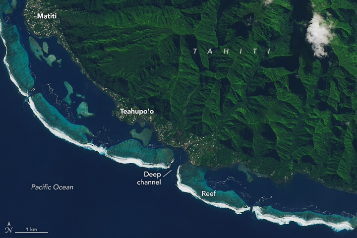
Tahiti is the largest island of the Windward group of the Society Islands in French Polynesia, located in the central part of the Pacific Ocean. Divided into two parts, Tahiti Nui (bigger, northwestern part) and Tahiti Iti (smaller, southeastern part), the island was formed from volcanic activity, andthose two roughly round portions centered on volcanic mountains are connected by a short isthmus named after the small town of Taravao. French is the only official language, although the Tahitian language (Reo Tahiti) is widely spoken.
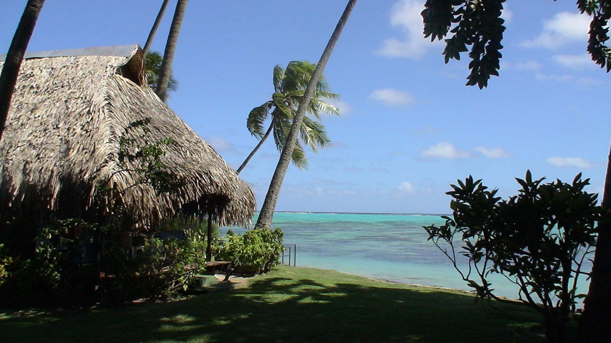
The local scenery on the ground is as follows.
Reference: NASA Earth’s Tweet
See earthview photo gallery: LiVEARTH