NOAA-20 satellite captured Yangtze River Delta (Yangtze Delta) and Shanghai, China.
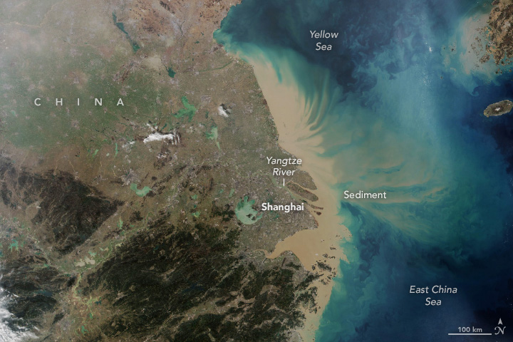
The Yangtze Delta is a triangle-shaped megalopolis comprising Shanghai and other cities. The area lies in the heart of the Jiangnan region where the Yangtze River drains into the East China Sea. Having fertile soil, the Yangtze Delta abundantly produces grain, cotton, hemp and tea. In 2021, the Yangtze Delta had a GDP of approximately US$4.3 trillion, about the same size as Japan. Shanghai is one of the 4 direct-administered municipalities of China. The city is located on the southern estuary of the Yangtze River, with the Huangpu River flowing through it. With a population of approx. 24 million, it is the most populous urban area in China and the most populous city proper in the world. Shanghai is a global center for finance, research, technology, manufacturing, and transportation, and the Port of Shanghai is the world’s busiest container port. Originally a fishing village and market town, Shanghai grew in importance in the 19th century due to both domestic and foreign trade and its favorable port location. The city was one of five treaty ports forced open to European trade after the First Opium War. The Shanghai International Settlement and the French Concession were subsequently established. Shanghai has been described as the “showpiece” of the booming economy of China.
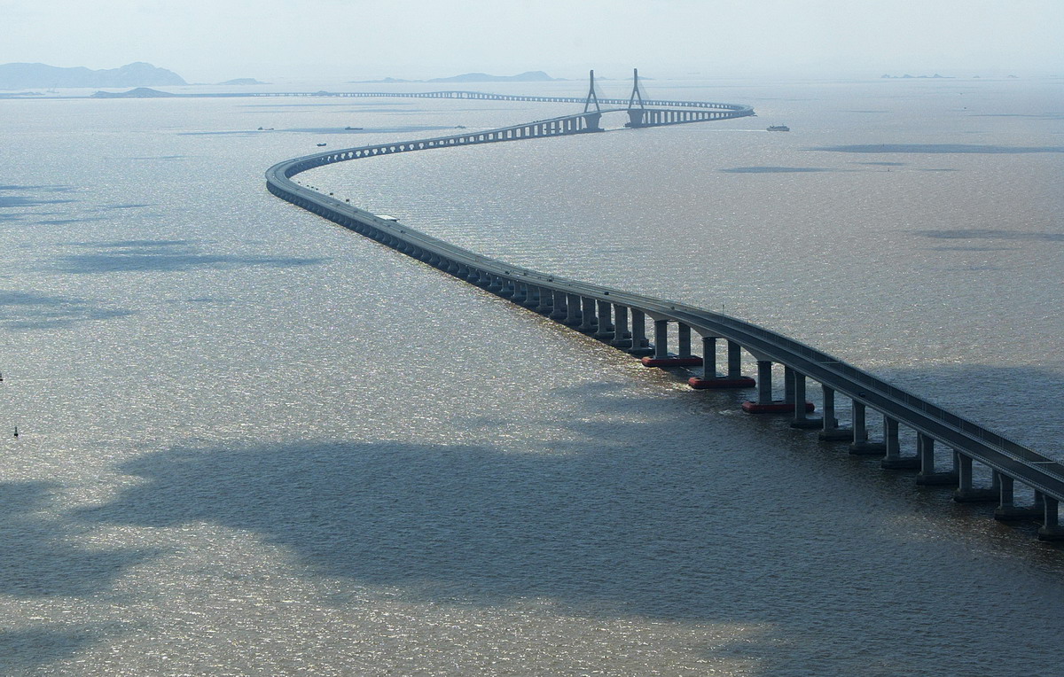
The local scenery on the ground is as follows.
Reference: NASA Earth’s Tweet
See earthview photo gallery: LiVEARTH