Astronaut aboard the ISS captured the Yellow River near Baotou, China.
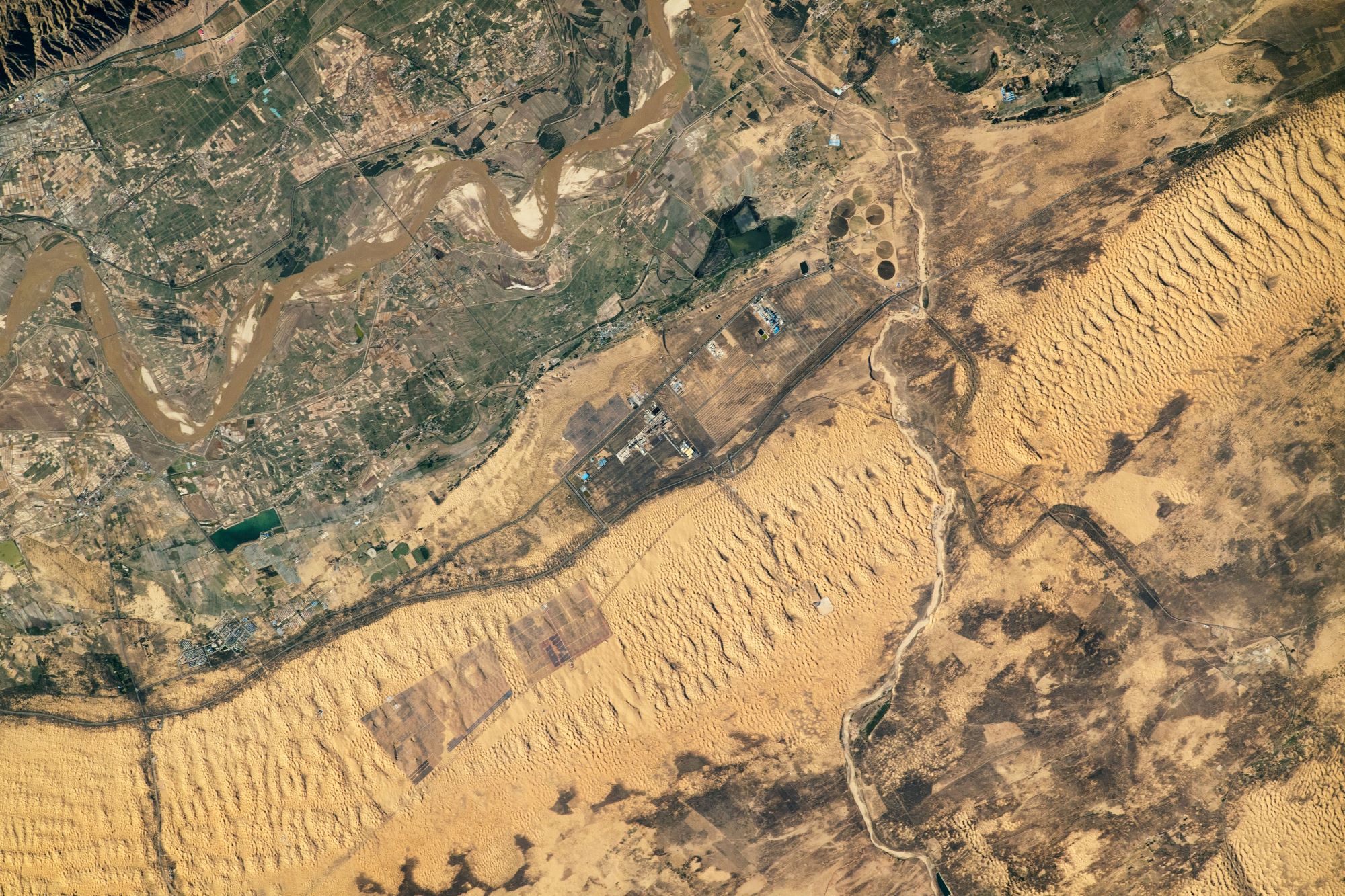
The Yellow River or Huang He is the second-longest river in China, after the Yangtze River, and the sixth-longest river system in the world at the estimated length of 5,464km. Originating in the Bayan Har Mountains in Qinghai province of Western China, it flows through nine provinces, and it empties into the Bohai Sea near the city of Dongying in Shandong province. The Ordos Loop formed by an enormous twist of the Yellow River, beginning at Zhongning County in Ningxia and ending with a drastic eastward turn at its confluence with the Wei at Tongguan in Shaanxi. In the lower reaches, from Zhengzhou to its mouth, a distance of 786km, the river is confined to a levee-lined course as it flows to the northeast across the North China Plain before emptying into the Bohai Sea.
The local scenery on the ground is as follows.

Reference: NASA’s Tweet
See earthview photo gallery: LiVEARTH