ESA’s Copernicus Sentinel-2 captured Yukon River, Alaska, U.S..
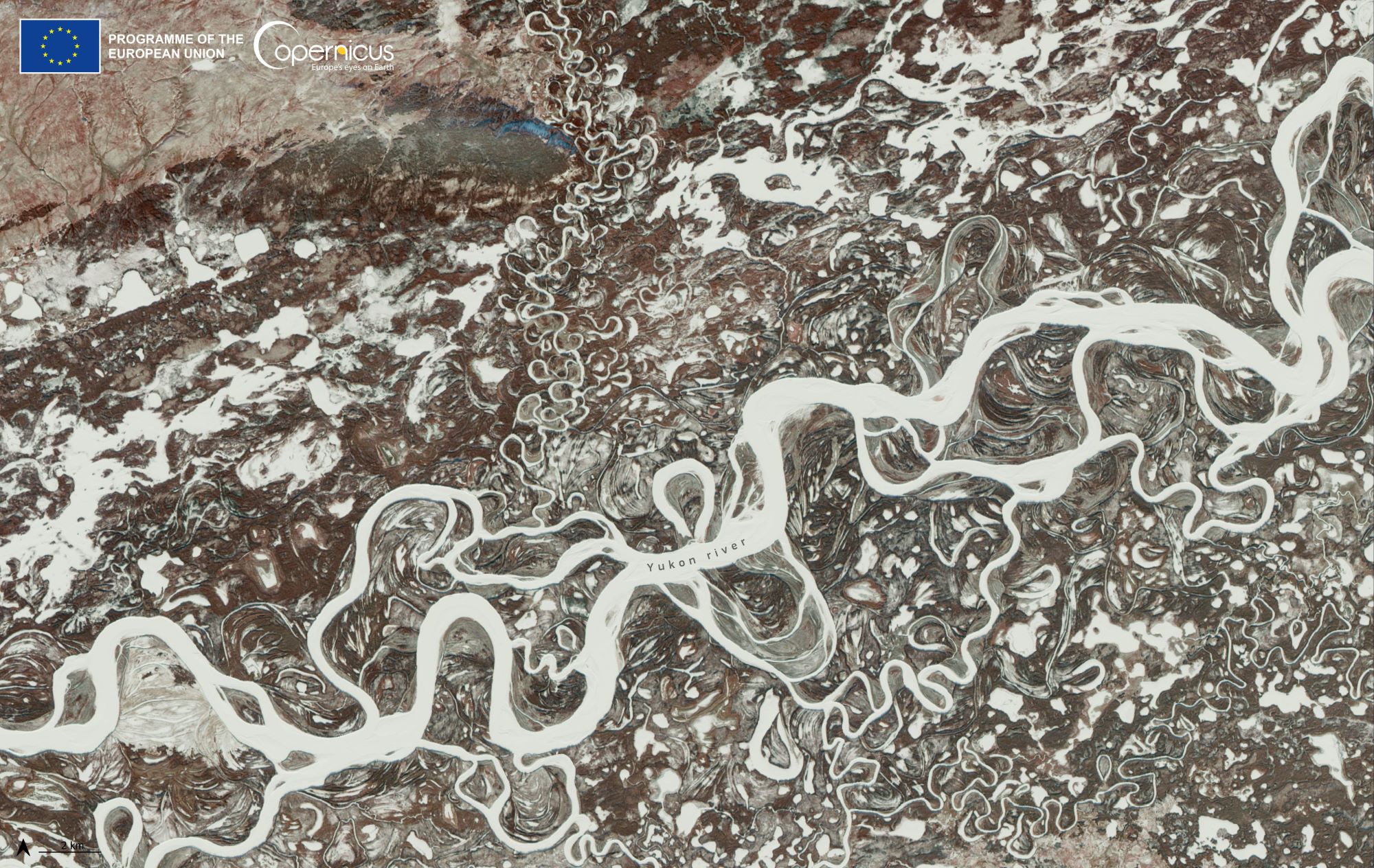
The Yukon River is a major watercourse of northwestern North America. From its source in British Columbia, Canada, it flows through Canada’s territory of Yukon (itself named after the river). The lower half of the river continues westward through the U.S. state of Alaska. The river is 3,190km long and empties into the Bering Sea at the Yukon-Kuskokwim Delta. The longest river in Alaska and Yukon, it was one of the principal means of transportation during the 1896-1903 Klondike Gold Rush. A portion of the river in Yukon–“The Thirty Mile” section, from Lake Laberge to the Teslin River–is a national heritage river and a unit of Klondike Gold Rush International Historical Park.
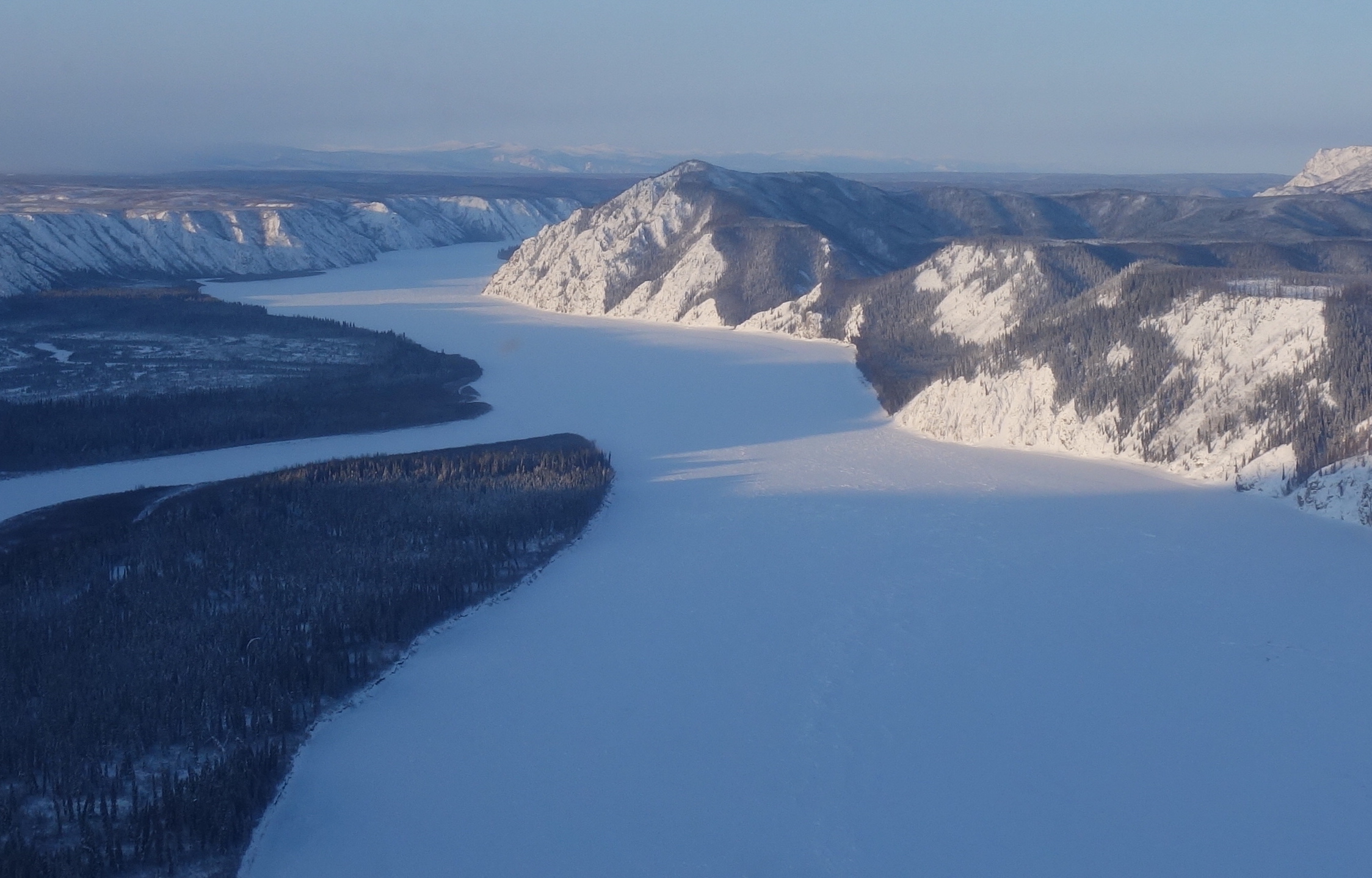
The local scenery on the ground is as follows.
Reference: Copernicus EU’s Tweet
See earthview photo gallery: LiVEARTH